


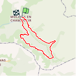


10,1 km | 16 km-effort

Gebruiker


Gratisgps-wandelapplicatie
 SityTrail
IGN / Geografische instituten
SityTrail World
De wereld gaat voor u open
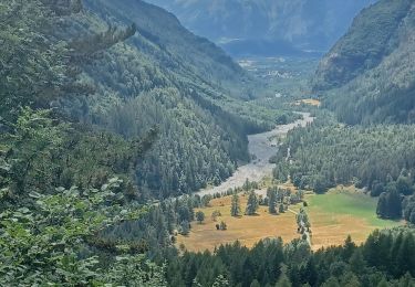
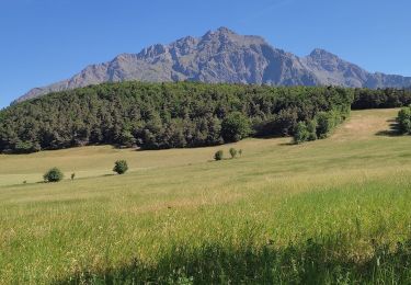
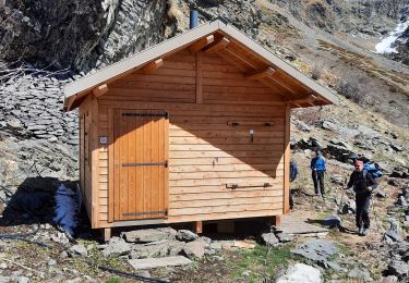
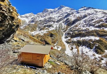
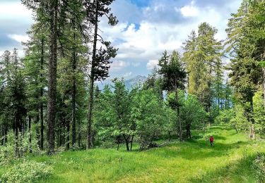
Tocht Stappen van 17,5 km beschikbaar op Provence-Alpes-Côte d'Azur, Hautes-Alpes, La Motte-en-Champsaur. Deze tocht wordt voorgesteld door Dervalmarc.
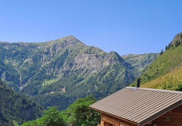
Très belle rando. Longue avec passage exposé à l'hubac en début de saison à cause de névés persistants.


Stappen
Stappen
Stappen
Stappen
Stappen
Stappen
Stappen
Stappen

Mountainbike